Gallery (Chapter Index)
3. Gallery (Chapter Index)#
First Map 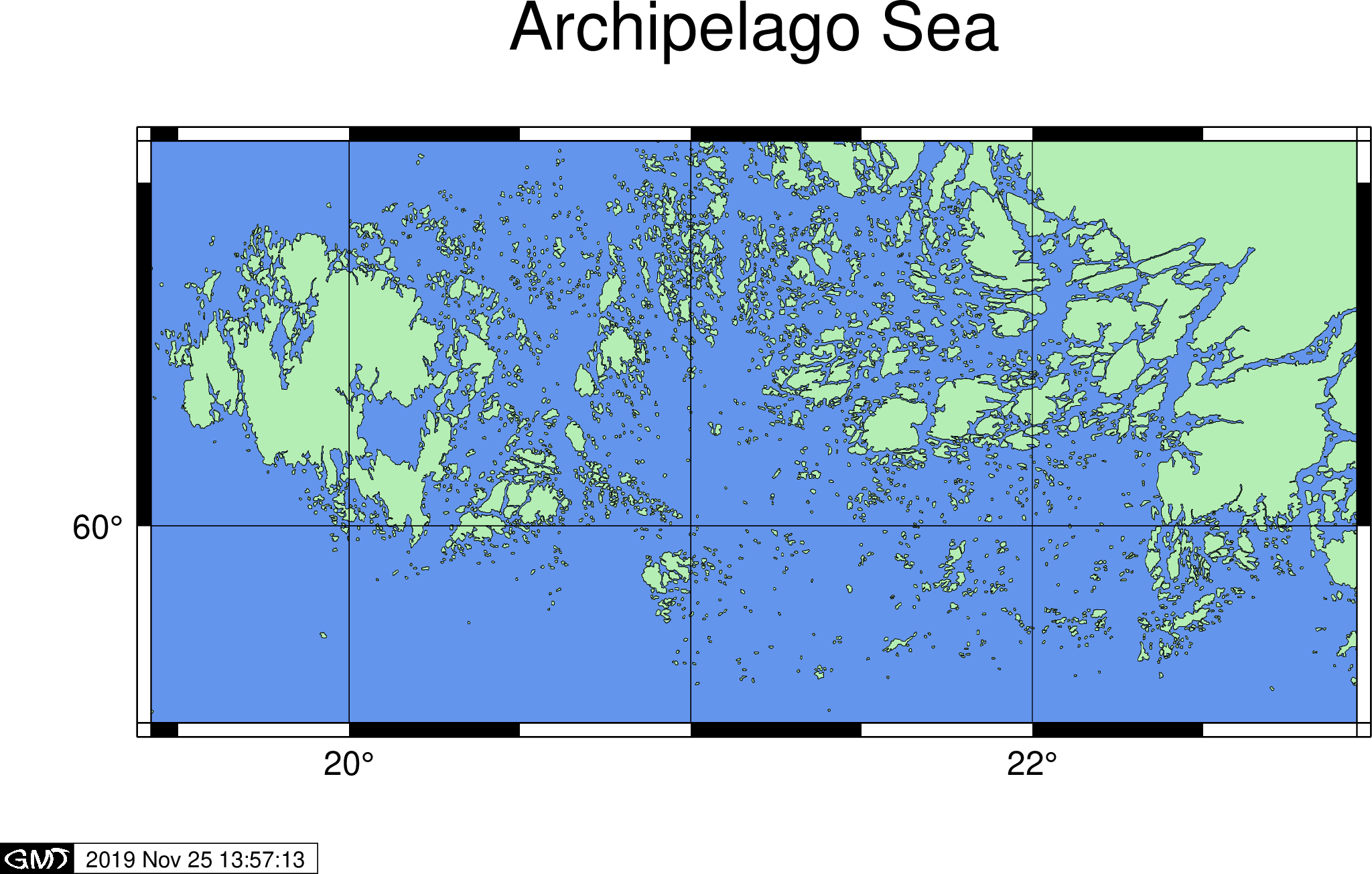
|
Color-coded Topo 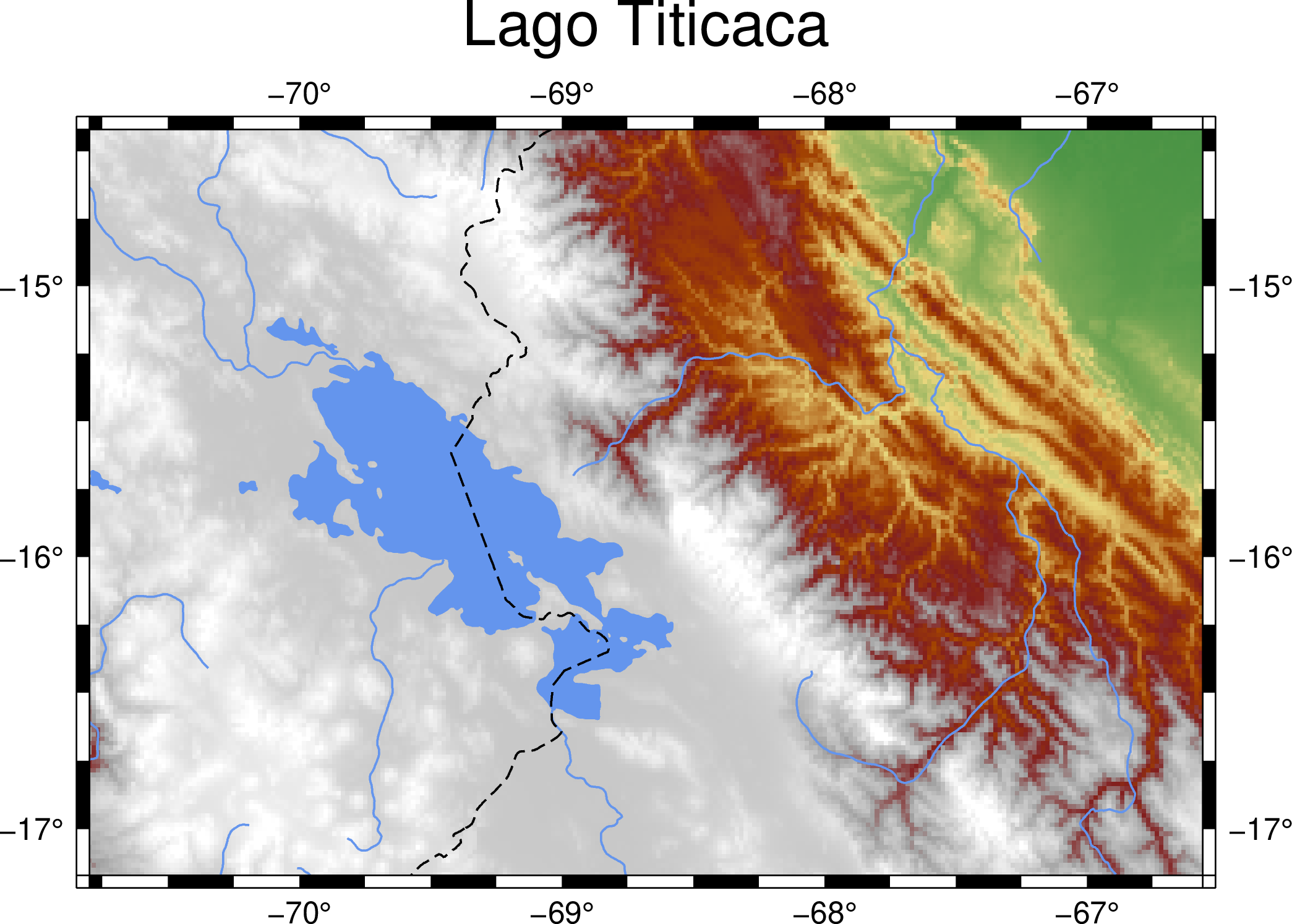
|
Color Basics 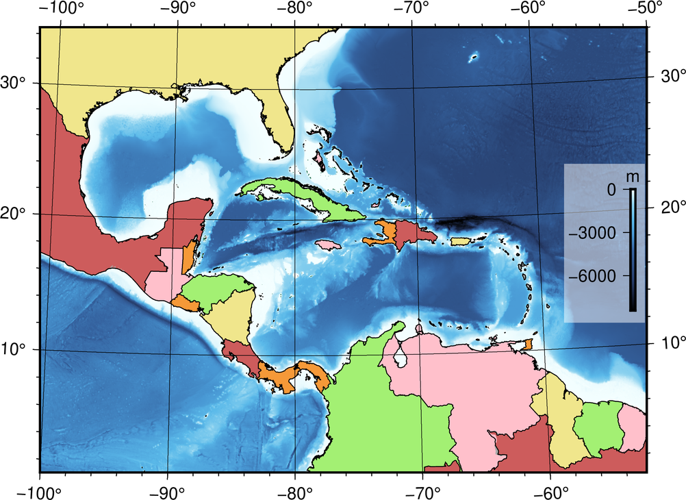
|
Scatter Plot 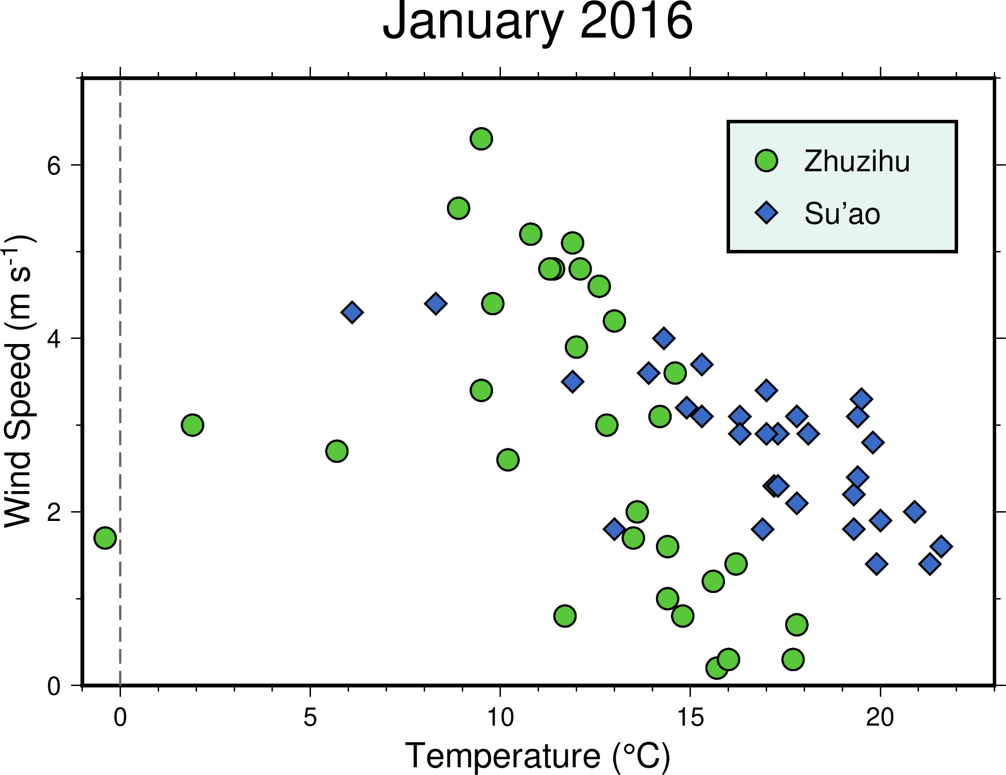
|
Colormap 
|
Vector Data 
|
Layout Design 
|
Hillshading 
|
Contours and Profile 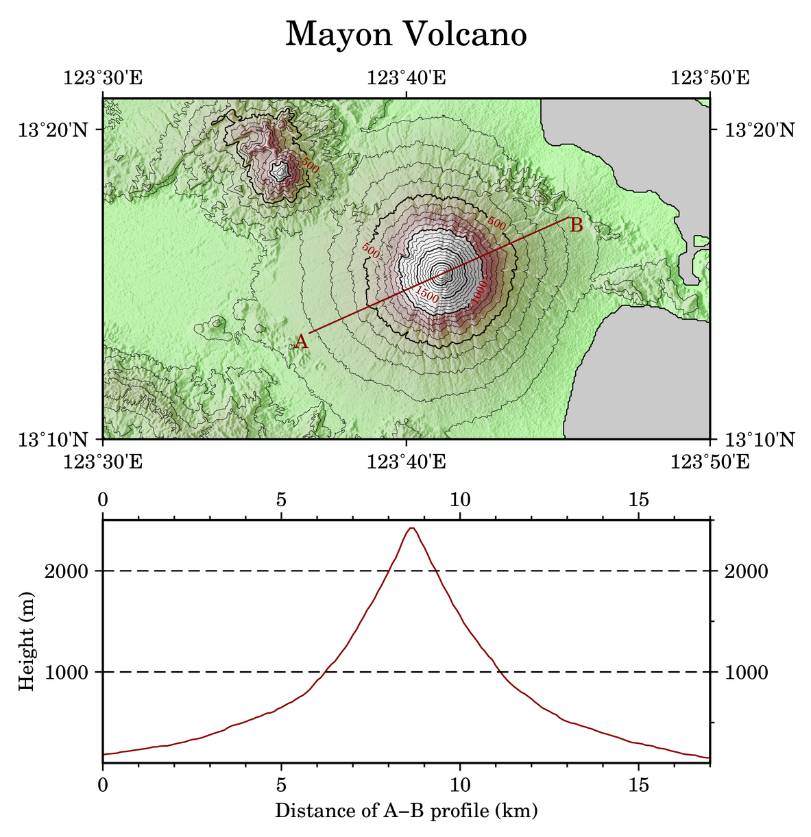
|
Map Elements 
|
Editing CPT 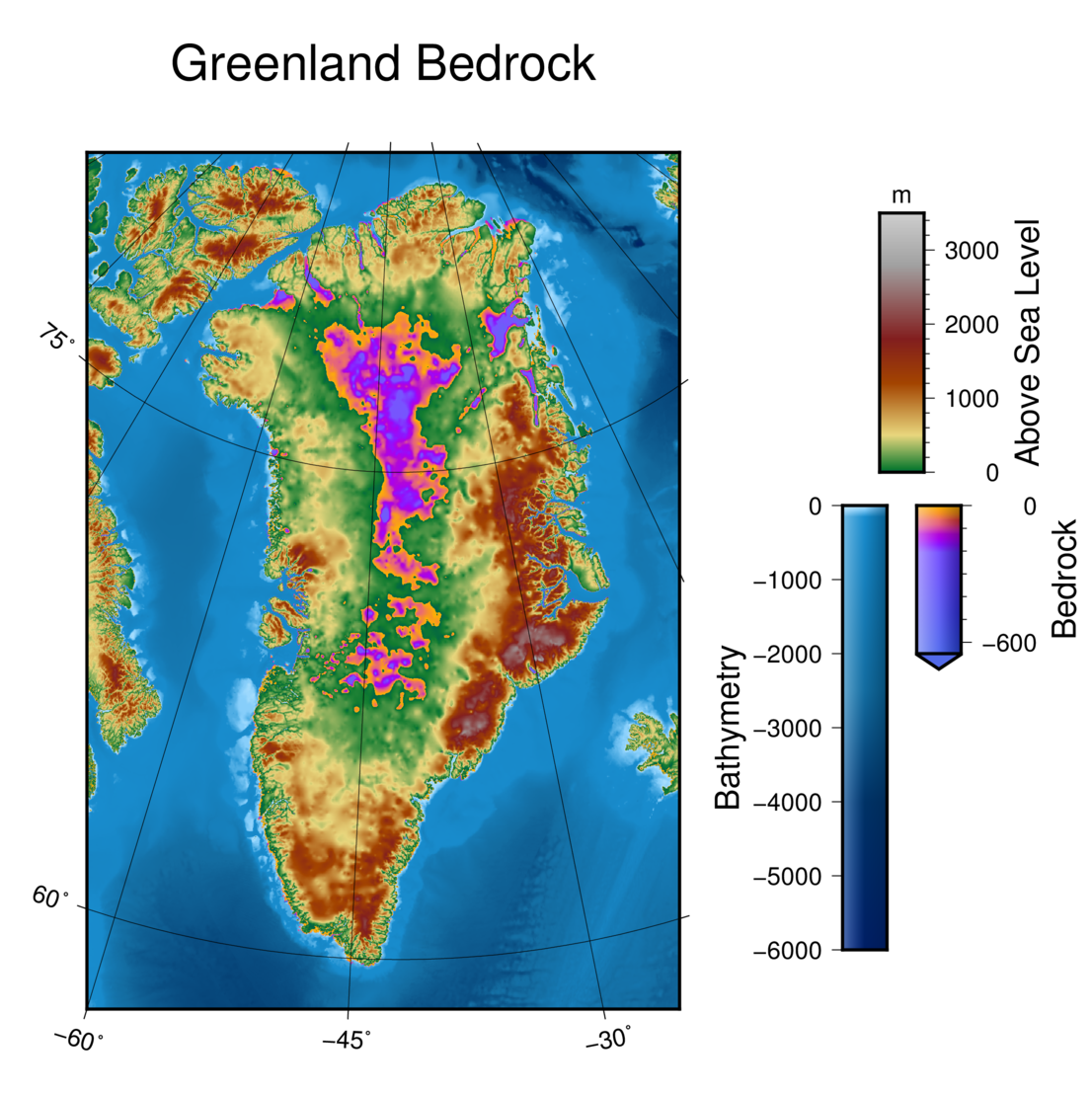
|
3-D Topo 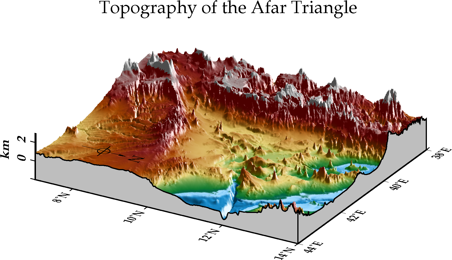
|
Raster Calculator 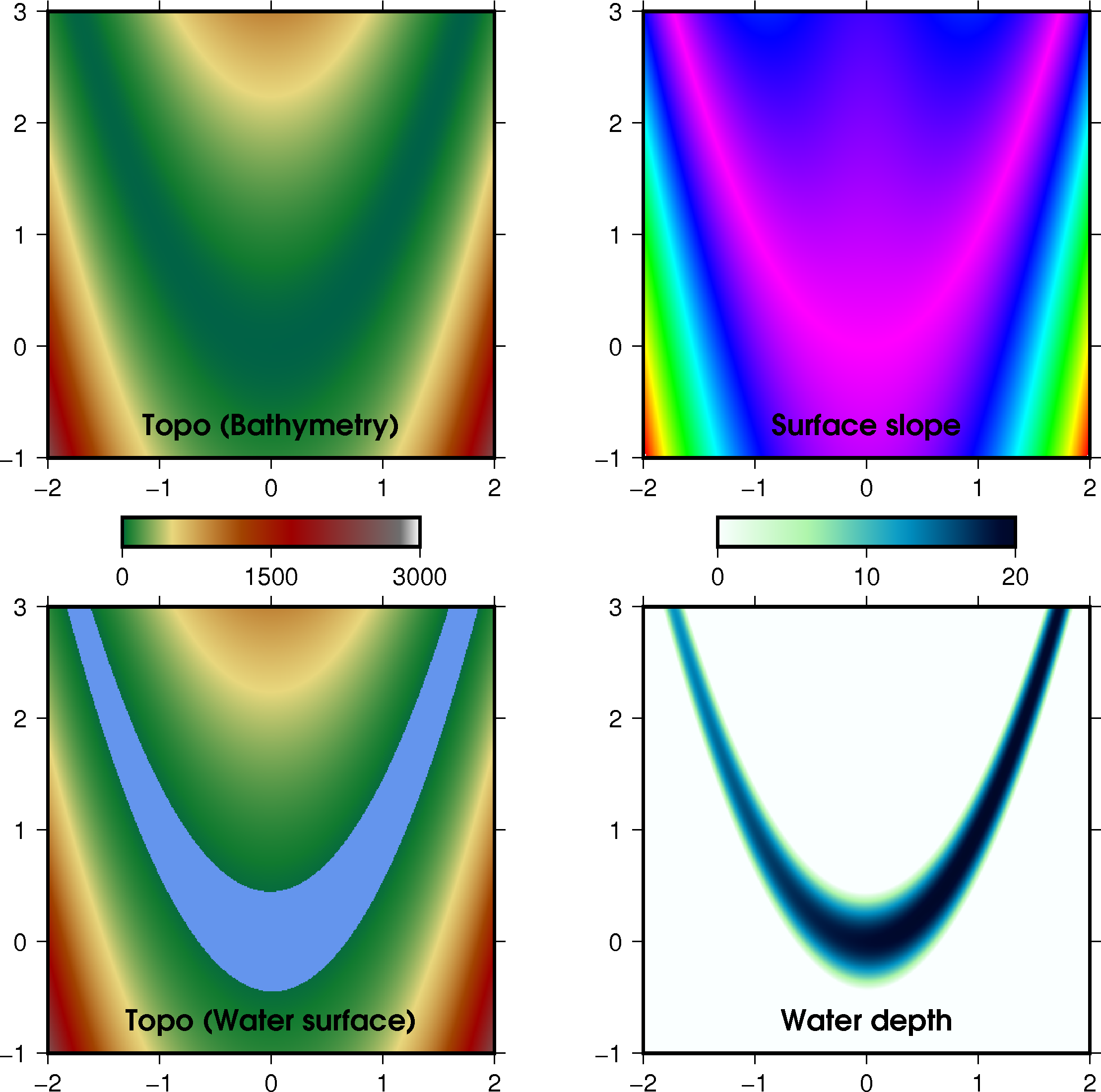
|